
Файл:Bingham County Idaho Incorporated and Unincorporated areas Firth Highlighted.svg

800 × 431 нокта - SVG файлын беренчел карау размеры PNG. Башка ачыклык: 320 × 172 нокта | 640 × 345 нокта | 1024 × 551 нокта | 1280 × 689 нокта | 2560 × 1378 нокта | 1300 × 700 нокта.
Төп файл (SVG файлы, шартлы 1300 × 700 нокта, файлның зурлыгы: 88 Кб)
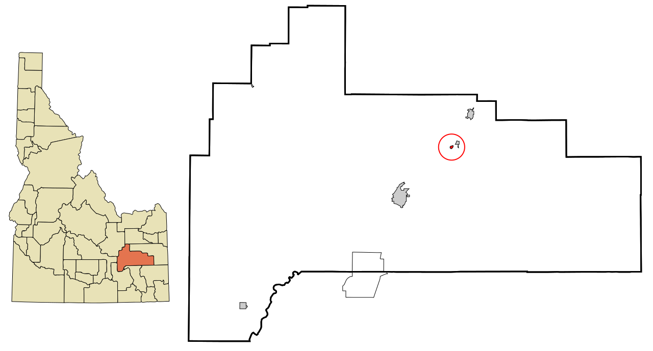
| Тасвир | This map shows the incorporated and unincorporated areas in Bingham County, Idaho, highlighting Firth in red. It was created with a custom script with US Census Bureau data and modified with Inkscape. |
| Дата | |
| Чыганак | My own work, based on public domain information. Based on similar map concepts by Ixnayonthetimmay |
| Автор | Arkyan |
Я, владелец авторских прав на это произведение, добровольно публикую его на условиях следующих лицензий:

|
Бу документтан күчермә алырга, аны таратырга һәм/яки үзгәртергә Ирекле программалар фонды тарафыннан бастырылган 1.2 һәм соңрак чыгарышлы GNU Free Documentation License шартлары буенча хакыгыз бар, әмма үзгәрмәс бүлекләрсез, алгы һәм арткы тышлыктагы текстсыз. Лицензиянең күчермәсе GNU Free Documentation License исемле бүлеккә кертелгән. |
| Әлеге файл Creative Commons Attribution-Share Alike 3.0 Unported лицензиясе буенча рөхсәт ителгән. | ||
| ||
| Этот признак лицензирования был добавлен к этому файлу как часть обновления лицензии GFDL. |
Этот файл доступен на условиях лицензий Creative Commons Attribution-Share Alike 2.5 Generic, 2.0 Generic и 1.0 Generic.
- Сез ирекле рәвештә:
- уртаклашырга – бу язмадан күчермә алырга, таратырга һәм тапшырырга
- юрамалар ясау – бу язманы үзгәртергә
- Түбәндәге шартларда:
- атрибуция – Сез тиешле бәя, лицензиягә сылтама бирергә һәм үзгәрешләр кертелгәнме-юкмы икәнен күрсәтергә тиешсез. Сез моны теләсә-нинди дөрес булган ысул белән эшли аласыз, әмма лицензиар сезне яки куллануыгызны хуплый дигән фикер калырга тиеш түгел.
- шул ук кагыйдәләр буенча таратыла – Әгәр сез бу әсәрне үзгәртәсез, әверелдерәсез яки аның нигезендә яңаны булдырасыз, башлангыч әсәрнең рөхсәтнамәсен яки башлангыч рөхсәтнамәгә туры килә торган рөхсәтнамәне кулланырга тиешсез.
Сез теләгән лицензияне сайлый аласыз.
Файл тарихы
Файлның нинди булганлыгын күрү өчен «дата/вакыт» дигәненә басыгыз.
| Дата/вакыт | Кече рәсем | Үлчәмнәре | Кулланучы | Искәрмә | |
|---|---|---|---|---|---|
| агымдагы | 11 окт 2007, 18:48 | | 1300 × 700 (88 Кб) | ArkyBot~commonswiki | {{Information |Description=This map shows the incorporated and unincorporated areas in Bingham County, Idaho, highlighting Firth in red. It was created with a custom |
Файлны куллану
Әлеге файл киләсе битне куллана:
Файлның гомуми кулланышы
Әлеге файл аста бирелгән викиларда куллана:
- ar.wikipedia.org проектында куллану
- arz.wikipedia.org проектында куллану
- azb.wikipedia.org проектында куллану
- ca.wikipedia.org проектында куллану
- ceb.wikipedia.org проектында куллану
- cy.wikipedia.org проектында куллану
- es.wikipedia.org проектында куллану
- eu.wikipedia.org проектында куллану
- fa.wikipedia.org проектында куллану
- fr.wikipedia.org проектында куллану
- ht.wikipedia.org проектында куллану
- it.wikipedia.org проектында куллану
- ka.wikipedia.org проектында куллану
- sh.wikipedia.org проектында куллану
- sr.wikipedia.org проектында куллану
- www.wikidata.org проектында куллану
- zh-min-nan.wikipedia.org проектында куллану