
Файл:Argentina Entre Ríos location map.svg

417 × 600 нокта - SVG файлын беренчел карау размеры PNG. Башка ачыклык: 167 × 240 нокта | 334 × 480 нокта | 534 × 768 нокта | 712 × 1024 нокта | 1423 × 2048 нокта | 570 × 820 нокта.
Төп файл (SVG файлы, шартлы 570 × 820 нокта, файлның зурлыгы: 380 Кб)
Тасвирлама
| Тасвир |
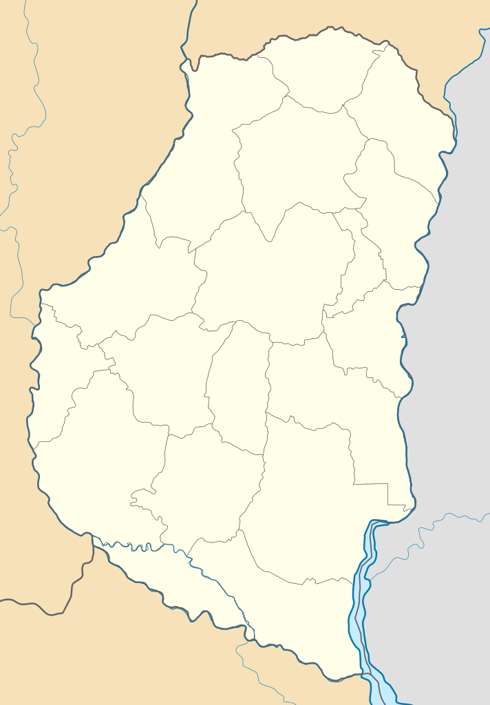
Deutsch: Positionskarte von Entre Ríos (Argentinien) English: Location map of Entre Ríos province (Argentina) Español: Mapa de localización de la Provincia de Entre Ríos.
Equirectangular projection, N/S stretching 115 %. Geographic limits of the map:
|
| Дата | (UTC) |
| Чыганак |
Этот файл является производной работой от: |
| Автор |
|
| Башка юрамалар |
|

Лицензияләү
Әлеге файл Creative Commons Attribution-Share Alike 3.0 Unported лицензиясе буенча рөхсәт ителгән.
- Сез ирекле рәвештә:
- уртаклашырга – бу язмадан күчермә алырга, таратырга һәм тапшырырга
- юрамалар ясау – бу язманы үзгәртергә
- Түбәндәге шартларда:
- атрибуция – Сез тиешле бәя, лицензиягә сылтама бирергә һәм үзгәрешләр кертелгәнме-юкмы икәнен күрсәтергә тиешсез. Сез моны теләсә-нинди дөрес булган ысул белән эшли аласыз, әмма лицензиар сезне яки куллануыгызны хуплый дигән фикер калырга тиеш түгел.
- шул ук кагыйдәләр буенча таратыла – Әгәр сез бу әсәрне үзгәртәсез, әверелдерәсез яки аның нигезендә яңаны булдырасыз, башлангыч әсәрнең рөхсәтнамәсен яки башлангыч рөхсәтнамәгә туры килә торган рөхсәтнамәне кулланырга тиешсез.
Исходный журнал загрузок
This image is a derivative work of the following images:
- File:Argentina_location_map.svg licensed with Cc-by-sa-3.0, GFDL
- File:Map_of_Entre_Rios_Province.svg licensed with Cc-by-sa-3.0,2.5,2.0,1.0, GFDL
Uploaded with derivativeFX
Файл тарихы
Файлның нинди булганлыгын күрү өчен «дата/вакыт» дигәненә басыгыз.
| Дата/вакыт | Кече рәсем | Үлчәмнәре | Кулланучы | Искәрмә | |
|---|---|---|---|---|---|
| агымдагы | 10 сен 2017, 02:55 | | 570 × 820 (380 Кб) | Milenioscuro | capas |
| 9 июл 2013, 22:50 |  | 570 × 820 (584 Кб) | Milenioscuro | == {{int:filedesc}} == {{Information |Description={{de|Positionskarte von Entre Ríos (Argentinien)}}{{en|Location map of Entre Ríos province (Argentina)}}{{es|1=Mapa de localización de la Provincia de Entre Río... |
Файлны куллану
Әлеге файл киләсе битне куллана:
Файлның гомуми кулланышы
Әлеге файл аста бирелгән викиларда куллана:
- de.wikipedia.org проектында куллану
- en.wikipedia.org проектында куллану
- eo.wikipedia.org проектында куллану
- es.wikipedia.org проектында куллану
- Victoria (Entre Ríos)
- Crespo (Argentina)
- Libertador San Martín
- Puiggari
- Gualeguay
- Basavilbaso
- Concordia (Argentina)
- Paraná (Argentina)
- Villa Elisa (Entre Ríos)
- Gualeguaychú
- La Paz (Entre Ríos)
- Concepción del Uruguay
- Villaguay
- Urdinarrain
- Nogoyá
- Chajarí
- Colón (Entre Ríos)
- Rosario del Tala
- Oro Verde (Argentina)
- Federación (Argentina)
- Mandisoví
- Diamante (Argentina)
- San Salvador (Entre Ríos)
- San José (Entre Ríos)
- Bovril (Argentina)
- San Benito (Entre Ríos)
- Villa Paranacito
- Ibicuy
- Federal (Entre Ríos)
- San José de Feliciano
- Santa Elena (Entre Ríos)
- Walter Moss
- General Campos
- María Grande
- Paso de la Arena (Argentina)
- Cerrito (Entre Ríos)
- Lucas González (localidad)
- Aldea San Antonio (Gualeguaychú)
- Aldea San Juan
- General Ramírez
Бу файлның гомуми кулланышын карау.